
May 3, 2026
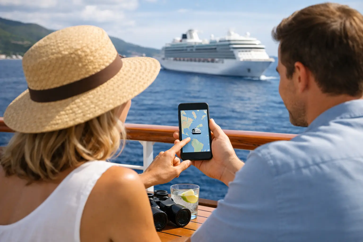
If your ship is due in Cozumel at 8:00 a.m. and you are trying to figure out whether that timing still looks realistic, real time ship location data becomes more than a nice extra. It helps answer practical questions before embarkation and during trip planning, especially when you want a clearer view of where a cruise ship is, where it has been, and how that fits the itinerary you are considering.
For cruise travelers, ship location tools are most useful when they reduce uncertainty. They can help you check whether a vessel is already on its current sailing, see how close it is to the next port, and better understand a ship's operating pattern. That matters if you are comparing similar itineraries, planning flights around embarkation, or simply keeping tabs on a ship before someone you know boards.
What real time ship location actually shows
Most ship tracking tools rely on AIS data, which stands for Automatic Identification System. Commercial vessels and cruise ships broadcast position, speed, course, and other identifying details that tracking services can collect and display on a map. For the average traveler, the technical part matters less than the result: a visual snapshot of where a ship appears to be right now and how it is moving.
That said, real time ship location is not always truly live to the second. Depending on coverage, signal timing, and the tracking platform, updates may be delayed. Near busy coastlines and major ports, data is often more consistent. In open ocean, gaps can happen. If you are using location data to make a planning decision, it helps to treat it as highly useful directional information rather than a perfect live feed.
This distinction matters because cruise passengers often expect tracking to work like a rideshare app. Ships do not operate in that kind of environment. Position data can be excellent, but it still depends on transmission and reception conditions that are outside your control.
Why cruise travelers check ship location in the first place
Cruise travelers usually are not tracking ships for technical interest alone. They are trying to answer a travel question.
Sometimes that question is simple: Is my ship already back from its previous sailing? Sometimes it is more specific: Does this vessel appear on schedule ahead of embarkation day? If you are cruising during hurricane season or around periods of port congestion, ship location data can add context that a static itinerary page cannot.
It can also help when you are comparing sailings. A cruise ship's recent movement may reveal whether an itinerary has changed, whether a turnaround port operation looks normal, or whether the ship has had to adjust route timing in recent sailings. That does not guarantee your voyage will follow the same pattern, but it gives you a more informed starting point.
For travelers meeting family at a port, location data can also be useful for timing. If a ship is still offshore or arriving later than expected, that changes when you might head to the terminal area. Even then, a little caution is smart. Port operations, clearance timing, and disembarkation flow can all shift independently of the ship's map position.
Using real time ship location without overreading it
The best use of real time ship location is practical, not dramatic. It works well when you are checking status, validating timing, or getting context around a ship's route. It works poorly when you expect it to predict every operational detail.
A ship shown outside port does not always mean there is a problem. It may be waiting for a berth, adjusting arrival timing, or following local traffic instructions. A route that looks slightly off on the map may reflect weather routing or standard navigational practice rather than a major itinerary change.
Cruise travelers get the most value from tracking data when they pair it with common sense. If a vessel is approaching its embarkation port on schedule the day before your cruise, that is generally reassuring. If it is far from where you expected it to be, that may be a signal to keep an eye on official updates from the cruise line. The map gives context. It does not replace direct communication.
How ship location helps before you book
Location data is not just for the week of your sailing. It can also be useful when you are still researching.
If you are comparing ships on similar Caribbean or Mediterranean routes, recent position history can help you understand how those itineraries actually operate. You may notice differences in port sequencing, sea day spacing, or turnaround patterns that are not obvious from a basic itinerary listing. For travelers who like to verify details before committing, that extra visibility can be helpful.
This is especially relevant when a ship is repositioning seasonally or rotating between homeports. A future itinerary may look straightforward on paper, but the vessel's current operating pattern can tell you whether a transition is underway. That can help you make sense of schedule timing, especially around the edges of a season when ships often move between regions.
For newer cruisers, this kind of visibility can make the booking process feel less abstract. Instead of seeing only a ship name and a departure date, you get a clearer picture of the vessel as an active part of a schedule.
Where real time ship location is most reliable
Tracking tends to feel most dependable when a ship is near land, entering port, leaving port, or operating along heavily monitored coastal routes. Those are the moments when AIS reception is often strongest and map updates are easier to interpret.
Open-ocean tracking can still be useful, but it often comes with more gaps. That does not mean the ship has disappeared or that something unusual is happening. It usually means the available signal is less consistent. For cruise travelers, the practical takeaway is simple: trust the map most when the ship is near places where passengers care about timing the most, such as embarkation ports and scheduled calls.
There is also a difference between seeing a dot on a map and understanding what it means for your plans. A ship that has reached port limits is not the same as a ship that has completed berthing and clearance. If you are arranging pickup, planning a port-area visit, or watching for same-day movement, build in a little margin.
What to look for in a ship tracking tool
For cruise travelers, the most useful tracking tools are clear and ship-specific. You want to be able to identify the vessel quickly, confirm its current position, review recent movement, and understand the likely next port without digging through technical clutter.
A good experience also depends on context. A map alone is less helpful than a map supported by ship details, itinerary relevance, and practical framing for travelers. That is where a cruise-focused platform can make a difference. Instead of treating ship tracking as maritime data for specialists, it can present location information as part of a broader planning picture.
VoyagePro is built around that kind of cruise-first usefulness, helping travelers move from raw information to clearer decisions. For someone planning a sailing, that matters more than having every possible technical field on screen.
The limits of ship tracking data
Ship location is helpful, but it has limits that are worth respecting.
First, position data does not explain operational decisions on its own. Weather, port instructions, traffic conditions, and itinerary changes all influence ship movement. Second, update timing can vary, so small apparent inconsistencies are normal. Third, travelers sometimes mistake movement data for a service guarantee. It is not. Official cruise line communication remains the final source for schedule changes, boarding instructions, and itinerary updates.
There is also the issue of interpretation. A traveler looking at a map may assume a late arrival means a disrupted port day, while the ship may still arrive within a workable operational window. Another traveler may see a ship moving slowly and assume a delay, when that speed is entirely routine for the route.
Used correctly, tracking data sharpens your understanding. Used carelessly, it can create false confidence or unnecessary worry.
Real time ship location as a smarter planning tool
The real value of real time ship location is that it gives cruise travelers one more way to verify what is happening around a ship they care about. It helps turn a fixed itinerary into something more understandable. You can see progress, identify patterns, and put travel decisions in a more realistic context.
That does not mean you need to track every sailing obsessively. Often, a quick check is enough. Is the ship where you would expect it to be? Does the movement generally support the schedule you are planning around? Are recent port calls lining up with the itinerary you are researching? Those are the kinds of questions location data answers well.
For cruise travelers who like to plan with more confidence, that extra clarity is useful. A ship's position will not tell you everything, but it can tell you enough to make better sense of the journey ahead.