
April 26, 2026
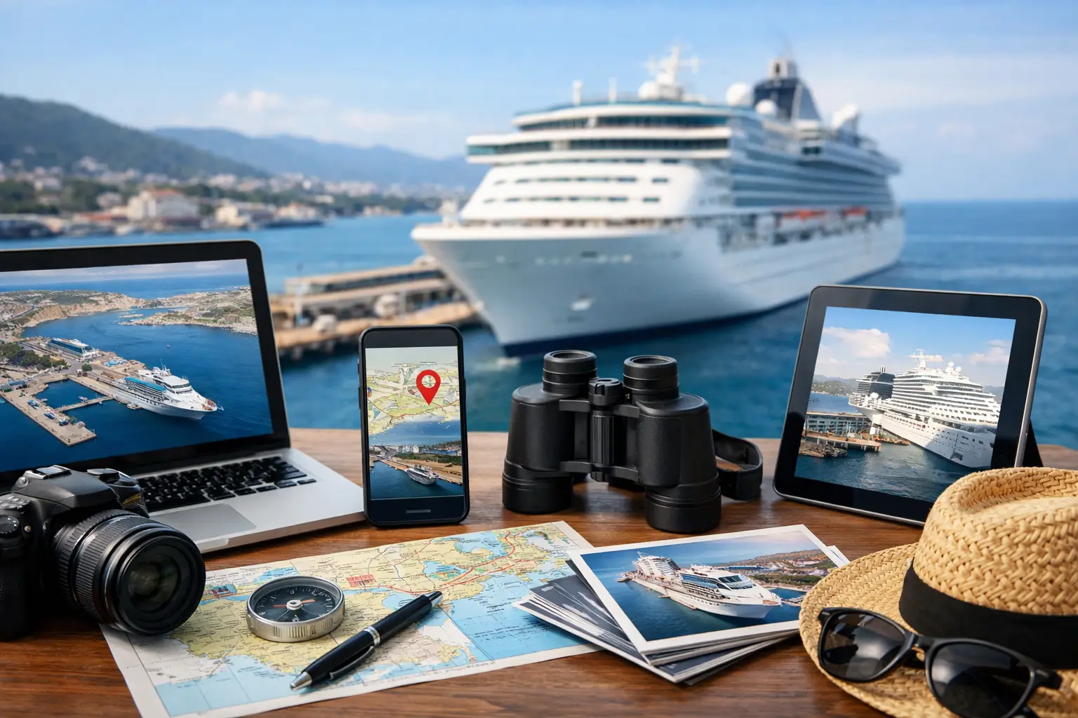
Missing a ship because local time changed, showing up at a terminal with the wrong documents, or realizing too late that your port stop is 40 minutes from the city center - those are the kinds of problems the top cruise port tools help prevent. For travelers who want fewer surprises and better port days, the right tools are less about convenience and more about control.
Cruise planning often gets treated like ship planning. Travelers compare cabins, dining packages, and itineraries, then leave the port details for later. That is usually where stress starts. Ports are where timing gets tighter, transportation gets less predictable, and small gaps in information can have bigger consequences. A good port tool closes those gaps before you sail.
What makes top cruise port tools worth using
Not every cruise-related tool deserves a spot in your planning routine. The most useful ones do three things well. They give you current, port-specific information, they help you act on that information quickly, and they reduce the amount of guesswork between ship and shore.
That sounds simple, but there is a real difference between a generic travel app and a tool built around cruise ports. A standard maps app can show roads and restaurants. It usually will not tell you whether your ship docks at an industrial terminal, whether shuttles are common, or whether multiple ships in port are likely to change the experience onshore.
The best cruise port tools also work across different stages of the trip. Some help before booking excursions. Others matter most the week before embarkation or on the morning you arrive. You do not need ten apps open at once. You need a short list of tools that answer the right questions at the right time.
The top cruise port tools most travelers should use
A live port schedule tool is one of the most useful starting points. It helps you see how busy a port is expected to be on your date, which ships are scheduled, and whether your stop is likely to feel crowded. That matters more than many travelers expect. A beach day in Cozumel feels different when one or two ships are in port than when several large ships arrive at once. The same goes for tender ports, transportation lines, and popular attractions that can get overwhelmed by midday.
A ship tracking tool is also valuable, especially when weather or congestion might affect arrival times. Cruise itineraries look fixed on paper, but port operations are rarely that rigid. Delays happen. Berths change. Arrival windows shift. A ship tracking tool gives travelers a better sense of whether the day is unfolding normally or whether they may need to adjust plans.
Port guides remain one of the most practical tools, provided they are current and cruise-specific. A good port guide should tell you where ships dock, how far the terminal is from key areas, what transportation options are realistic, and whether the destination is easy to do independently. That last part matters. Some ports are simple walk-off destinations. Others look simple until you realize the old town is not actually near the pier or taxis are limited.
Transit and route-planning tools can be helpful, but this is where context matters. In major ports with reliable public transportation, they can save money and help you move confidently. In less predictable cruise destinations, they may be less useful than local taxi planning or pre-booked transport. A route app that works perfectly in Barcelona may not help much at a smaller Caribbean port where transport is informal and timing is flexible.
Weather and marine forecast tools deserve more attention than they usually get. Travelers often check the forecast for temperature and rain, but wind, swell, and marine conditions can affect tender operations, beach quality, boat excursions, and even whether the ship docks as planned. A port day can still happen in warm weather and feel completely different because sea conditions are rough.
Currency and fare-conversion tools are another quiet essential. They are not glamorous, but they help with quick decisions onshore. If you are comparing taxi prices, market purchases, or local entry fees, having fast currency context keeps you from overpaying or wasting time trying to calculate everything on the spot.
Offline maps round out the list. They are especially useful in ports where cell service is weak, international data is expensive, or streets are less intuitive than they looked during pre-trip planning. An offline map is not just about finding your way back. It helps you judge walking distances realistically, spot nearby essentials, and avoid getting turned around when time matters.
How to choose the right cruise port tools for your trip
The right setup depends on your itinerary and your planning style. A traveler visiting mostly major European ports may get a lot of value from transit apps, walking maps, and museum timing tools. Someone sailing the Caribbean may care more about ship traffic, dock location, beach logistics, and weather.
It also depends on how independently you like to travel. If you book ship excursions in every port, you probably need fewer tools. You still benefit from port guides and live schedule data, but your transportation and timing risk are lower. If you prefer planning your own day ashore, your tool stack becomes more important because you are taking on more of the coordination yourself.
Another factor is how much uncertainty you are comfortable with. Some travelers are happy to get off the ship and figure it out. Others want to know terminal location, backup transit options, and likely crowd levels before breakfast. Neither approach is wrong, but the more structured your planning style, the more value you will get from accurate port tools.
Where travelers often get it wrong
The biggest mistake is assuming the port and the destination are basically the same place. Sometimes they are. Often they are not. A city name on the itinerary can hide a long transfer, a commercial dock, or a tender process that changes the pace of the day.
Another common mistake is relying on old forum advice without checking whether conditions still match. Port terminals change. Shuttle services come and go. Local transportation rules shift. A recommendation from two years ago may still be useful, but it should not be treated as current fact.
Travelers also tend to overestimate how much they can do in a port. This is where the top cruise port tools help most. They turn a broad destination idea into a realistic port-day plan. If your ship arrives at 10 a.m., local transport takes 30 minutes, and all-aboard is 4:30 p.m., that day is shorter than it looks on the itinerary. A tool that shows dock distance, transit time, and crowd conditions can save you from building a schedule that only works in perfect conditions.
A smarter way to use top cruise port tools
The goal is not to spend your vacation staring at apps. It is to make a few better decisions before and during the trip. Check your port schedule in advance so you know which days may be crowded. Review the dock location and transportation reality before you promise yourself a self-guided adventure. Watch weather and ship status when your sailing gets closer, especially in seasons when conditions are less predictable.
Then keep a short, practical toolkit on your phone. One source for port details, one for ship or schedule awareness, one for maps, and one for weather is usually enough. If a platform like VoyagePro brings those planning needs into a clearer cruise-focused experience, that is where the value shows up - less scattered research, fewer blind spots, and better decisions with less effort.
Cruise travel gets easier when you stop treating ports like a footnote. The ship may be the headline, but your time ashore is where planning either pays off or falls apart. Choose tools that answer real port-day questions, and every stop starts to feel a little more manageable and a lot more enjoyable.